Driving Directions and Travel Distance from DC and NOVA to Colonial Beach VA
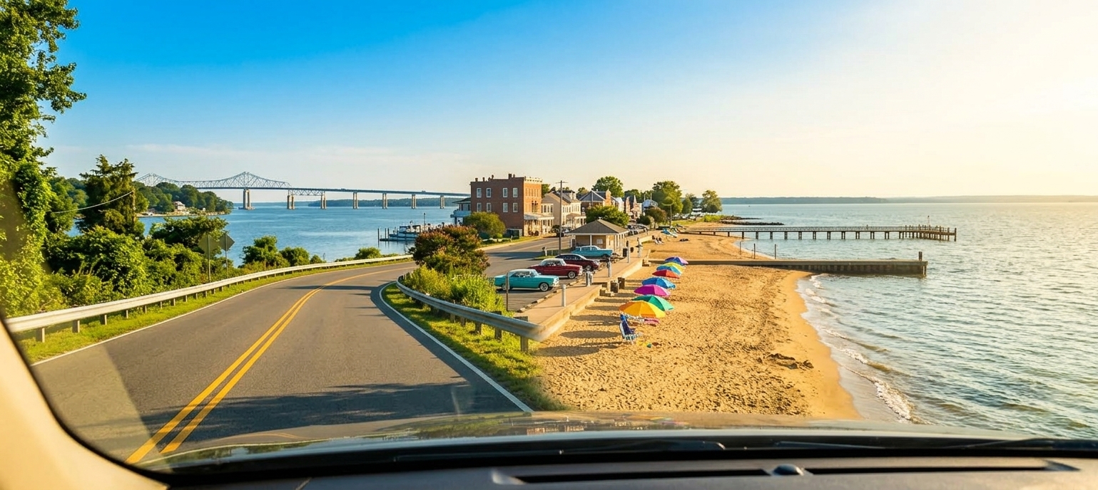
Imagine cruising down the scenic MD‑5/US‑301 South corridor, crossing the Governor Harry W. Nice Memorial Bridge and feeling the promise of a river‑front getaway. From Washington DC the trip spans roughly 60 to 65 miles, while travelers from the broader NOVA region may log up to 75 miles, translating to a comfortable 1.5‑to‑2‑hour drive. The southbound crossing carries a $4.50 electronic toll, a small price for the shortcut it provides into the peninsula’s charming streets. Once you exit onto VA‑205 East, the road winds through historic Dahlgren before opening onto the two‑mile stretch of sandy shoreline that defines Colonial Beach, Virginia’s second‑largest public sand beach. Along the way, optional scenic stopovers—such as the historic town of King George or the quiet vistas of Monroe Bay—add a leisurely flavor to the journey. Whether you’re heading from downtown Washington DC, Alexandria, or Fairfax, the route delivers a seamless blend of highway efficiency and waterfront allure. This guide offers the most accurate driving directions and travel distance from dc and nova to colonial beach va, ensuring you arrive prepared, with the perfect parking spot and a rental golf cart waiting for a breezy stroll along the Potomac. Embrace the closest sandy retreat to the nation’s capital and enjoy a day trip that feels like a true vacation.
Playground on the Potomac
Colonial Beach sits on the Northern Neck of Virginia, just a short hop from the Potomac River’s shoreline. For residents of Washington DC and the surrounding NOVA area, the town is a convenient escape – the driving distance ranges from about 60 miles when departing from Alexandria to roughly 75 miles from Fairfax, translating to a manageable 1.5‑to‑2‑hour travel distance by car.
Speedy access, big‑time payoff
Unlike the often‑confused Virginia Beach, which sits over 200 miles away and requires a 3.5‑plus‑hour trek down I‑64, Colonial Beach offers real sand, waterfront dining, and a relaxed, golf‑cart‑friendly atmosphere in less than half the time.
Take the scenic MD‑5/US‑301 South corridor across the Governor Harry W. Nice Memorial Bridge, then follow VA‑205 into town.
Alternatively, travel I‑95 South to VA‑3 East, then continue on VA‑205 for a direct route from Fredericksburg.
Both options deliver a pleasant drive through Southern Maryland and the Northern Neck, with the bridge toll of $4.50 collected electronically for south‑bound traffic only.
The town’s compact layout means parking is easy, and the beachfront promenade is lined with shops and eateries that cater to day‑trippers looking for a quick, scenic retreat. Whether you’re heading out for a family picnic, a sunset stroll, or a weekend of water‑sport fun, the short driving directions and travel distance from dc and nova to colonial beach va makes it a top choice for anyone seeking a fast‑track getaway without the long‑haul fatigue.
Driving Distance, Travel Distance & Route Metrics: DC & NOVA
Starting Hub
Driving Distance (Road Distance Approx. Miles)
Estimated Travel Time (Normal Traffic)
Recommended Route (Route Metrics)
Washington, DC
65 miles
~1 hr 30 min
MD‑5 S / US‑301 S
Alexandria, VA
61 miles
~1 hr 20 min
I‑495 / MD‑5 S / US‑301 S
Arlington, VA
66 miles
~1 hr 30 min
I‑395 / I‑495 / MD‑5 S / US‑301 S
Fairfax, VA
73 miles
~1 hr 35 min
I‑495 E to MD‑5/US‑301 or I‑95 S to VA‑3 E
Woodbridge / Prince William, VA
55 miles
~1 hr 15 min
I‑95 S to VA‑3 E
Reston / Tysons, VA
78 miles
~1 hr 45 min
I‑495 to MD‑5/US‑301 S
Why Drive Four Hours When You Can Arrive in Ninety Minutes?
Colonial Beach sits just 60 to 75 miles from the core neighborhoods of Northern Virginia and Washington, D.C., turning a typical day‑trip into a breezy escape. From Alexandria the driving distance is roughly 58 miles, while a departure from downtown Washington, D.C. adds only about 63 miles of road. Both routes deliver you to the Potomac River shoreline in just over an hour—approximately one hour and twenty minutes from Alexandria and a similar stretch from the capital.
Leaving your driveway after a quick breakfast in Arlington or Alexandria means you can be lounging on the beach by mid‑morning, a stark contrast to the congested 200‑plus‑mile haul south to the Atlantic oceanfront. The most direct corridor follows US‑301 across the Governor Harry W. Nice Memorial Bridge, where an electronic toll of $4.50 is collected southbound. After crossing, a short turn onto VA‑205 carries you straight into the heart of Colonial Beach.
Because the community is built around the river rather than the ocean, the scenery is uniquely relaxed, and parking is readily available near the waterfront. Families, parents, and local business owners all benefit from the short travel distance and predictable drive time, making spontaneous visits and weekend outings effortless.
Whether you’re seeking a quick beach retreat, a day of fishing, or a scenic stop on your route home, the modest mileage and reliable timing mean you spend more time enjoying the water and less time stuck in traffic. The convenience of this short drive reinforces why Colonial Beach remains the go‑to spot for Northern Virginia residents looking for a hassle‑free, waterfront getaway.
Driving Directions and Route Planning: US‑301 vs I‑95
MD-5 & US-301 Route Overview via Nice Bridge
Route B: I-95 South & Route 3 East via Fredericksburg
Transition from Highway to Local Roads
After traveling the multi‑lane US‑301 (or the VA‑3 corridor) you will encounter the first speed‑limit reduction as you leave the divided highway and enter the rural two‑lane network of King George County. Turn south onto VA‑206 South (Dahlgren Road); this secondary route weaves through wooded creek valleys where wildlife and occasional farm equipment may appear.
At the intersection with VA‑205 East (Ridge Road) the road becomes the primary conduit into Colonial Beach. VA‑205 drops to a lower posted speed as it crosses into Westmoreland County and then leads straight into the historic waterfront center, delivering drivers onto Colonial Avenue and Washington Avenue – the main thoroughfares of the Colonial Beach Commercial Historic District.
Key Navigation Tips
Observe speed‑limit changes as US‑301 becomes VA‑206 and later VA‑205; rural limits are lower than the highway speed.
Watch for agricultural vehicles and wildlife, especially deer, along the wooded sections of VA‑205.
Follow signs to Colonial Avenue and Washington Avenue, which lead directly into the historic waterfront district.
When planning the trip, remember that the overall road distance from the Washington, DC and Northern Virginia area to Colonial Beach ranges between about 60 and 75 miles, translating to a typical drive time of 1.5 to 2 hours depending on the exact starting point and traffic conditions.
For those seeking driving directions and travel distance from dc and nova to colonial beach va, the routes described above provide the most direct options.
These driving directions emphasize the smooth handoff from high‑speed corridors to scenic, slower‑moving roads that give visitors a pleasant arrival in Colonial Beach.
Tolls, Travel Time, Cost Estimation, and Route Planning Tips
Electronic Toll Details
The Governor Harry W. Nice Memorial / Senator Thomas “Mac” Middleton Bridge, which carries US‑301 over the Potomac River, is operated by the Maryland Transportation Authority. Toll collection is fully electronic, with overhead gantries that read a vehicle’s MD E‑ZPass at highway speed, so drivers do not need to stop or slow down. Southbound cost for a 2‑axle vehicle is $4.50, while the return trip northbound is free of charge. MD E‑ZPass commuters can lower the expense with a discount plan, and out‑of‑state transponders or video‑tolling are billed at higher rates.
Direction: Toll only southbound.
Base rate: $4.50 for MD E‑ZPass users.
Cost estimation: Expect the bridge fee to be the only toll expense on this route.
Peak Traffic Tips
Friday afternoons often bring severe congestion at the Occoquan/Woodbridge choke point on I‑95 South, a notorious bottleneck for travelers from Washington, DC and Northern Virginia. Choosing the US‑301 alternate through Charles County, MD, and crossing the Nice‑Middleton Bridge can shave 30–45 minutes off travel time on summer Fridays. During major holiday weekends—Memorial Day, the 4th of July, and Labor Day—beach‑bound traffic surges, so early‑morning departures or late‑night journeys are strongly advised.
Route planning: Opt for US‑301 to avoid I‑95 gridlock.
Seasonal advice: Leave before 7 a.m. or after 8 p.m. on holiday weekends.
Travel time: Typical drive is 1.5–2 hours, depending on start point.
Pit Stops & Dining
Enhance the drive to Colonial Beach with convenient rest stops. Grab coffee or snacks in La Plata, MD, or in King George, VA, before heading south on VA‑205. A short detour to Caledon State Park in King George offers scenic Potomac trail walks and a modest $5 parking fee. Along VA‑3 and VA‑205, seasonal produce stands provide fresh local fruit and vegetables for a quick bite.
Supplies: La Plata and King George convenience locations.
Nature break: Caledon State Park – $5 per vehicle.
Local flavor: Road‑side farms along VA‑3 and VA‑205.
Arrival in Colonial Beach: Driving Directions FAQs
There is no direct commuter train or public bus that reaches Colonial Beach. The nearest Amtrak/VRE stations are in Fredericksburg (about 35 mi west) and Quantico, so most travelers continue by car.
Driving provides the most practical route, with typical travel time of 1.5 – 2 hours and a driving distance of roughly 60‑75 miles depending on the starting point in Washington, DC or Northern Virginia.
Street parking is available throughout Colonial Beach, complemented by public lots near the Boardwalk, Irving Avenue, and the Town Pier.
During the busy season, paid parking is enforced and can be paid via mobile apps or kiosks. Visitors often follow the posted signs for the nearest lot after following the driving directions into town.
Colonial Beach proudly calls itself the “Golf Cart Capital of Virginia,” and several rental shops offer hourly, daily, and weekend options.
To operate a cart on public roadways, drivers need a valid driver’s license, town registration, insurance, and the required safety equipment. carts may travel on streets with speed limits of 25 mph or less.
Compared with Ocean City, MD and Virginia Beach, the drive to Colonial Beach is considerably shorter. While the coastal resorts often require 3 to 4.5 hours of travel, the driving directions and travel distance from dc and nova to colonial beach va typically amount to about 1.5 hours and under 70 miles.
The town’s calm Potomac River setting, historic charm, and limited traffic provide a relaxed alternative to the bustling Atlantic beaches.
Welcome to Colonial Beach
With an easy 65‑mile journey from the Washington, D.C. and Northern Virginia region, Colonial Beach welcomes you to a weekend of waterfront serenity and relaxed vibes. The drive, often described as a 1.5‑ to 2‑hour adventure, covers a modest travel distance that lets you leave the city behind without the fatigue of a long road‑trip. The driving distance is roughly 65 miles, making the trip quick and scenic.
If you’re curious about driving directions and travel distance from dc and nova to colonial beach va, the most common path follows US‑301 South across the Governor Harry W. Nice Memorial Bridge, then south on VA‑205 into the historic town. Along the way you’ll pass scenic stopovers, and the bridge toll is $4.50 for a southbound crossing. Once you arrive, parking is plentiful near the waterfront, and golf‑cart rentals are available for a breezy ride along the boardwalk.
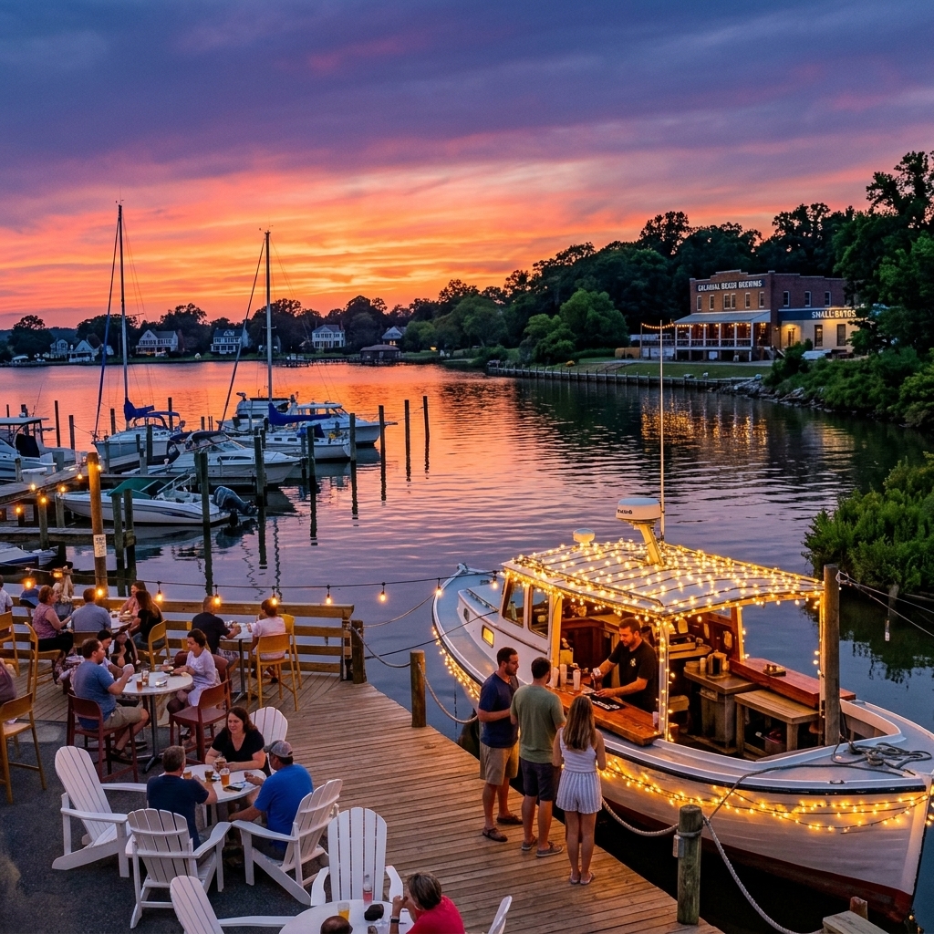
Pack your beach towels, fire up your GPS, and explore the town’s charming boutique shops, thriving craft breweries, and fresh‑catch seafood shacks. Sunny public beaches invite sun‑bathers, while local events and community gatherings keep the atmosphere lively. Whether you’re a homeowner, parent, or small‑business owner, a visit to Colonial Beach offers a perfect blend of relaxation and local flavor, all within a short driving distance from the capital region.
Sep 18, 2026
Read More